fbpx
October 16, 2019

Maps & Elevation


Maps and elevation files are preinstalled with AIR³, based on your location. Check this FAQ for more details.

However, as maps are large files, you may want to add or remove maps. You can free up memory by removing some pre-installed maps. You can use a SD card to extend the memory capacity. Optionnaly with AIR³, you can purchase a 128 Gb SD-card with pre-installed country maps of the world.

AIR³ Vario GPS android tab

RoadMaps  for AIR³/XCTrack provide a lot of information while you nagivate. Cities, roads, rivers, forests, railways,…

Check our quick video tutorial “Maps manager” to learn more about how to manage RoadMaps.

Check more details about Roadmaps management in the Maps section of XCTrack Menu/Preferences page of XCTrack Pro Manual.

Thanks to the elevations, you can get a lot of information while flying: altitude above the ground, contour lines displayed on the map, vertical view.

Check our Video tutorial “Install Airspace-Terrrain-Thermal-Roadmap” to learn more about how to install Terrain files.

More info also here in the XCTrack manual.


You can easily get maps directly from internet thanks to Maps manager. If you don’t want to bother with this heavy download each time you travel to another country and keep a large free space you can purchase an optional SD-card.

You can get a 128 Gb SD-card with the RoadMaps of the World.

World Maps: 128 Gb


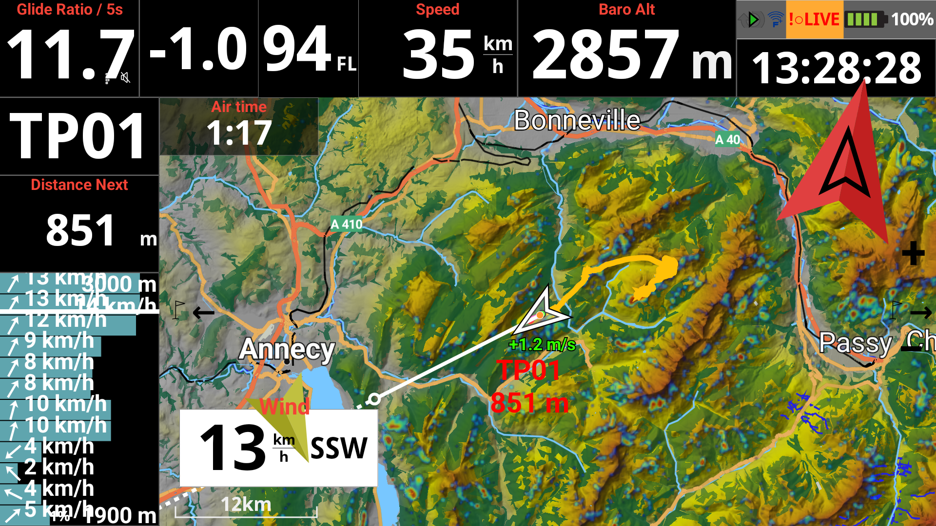
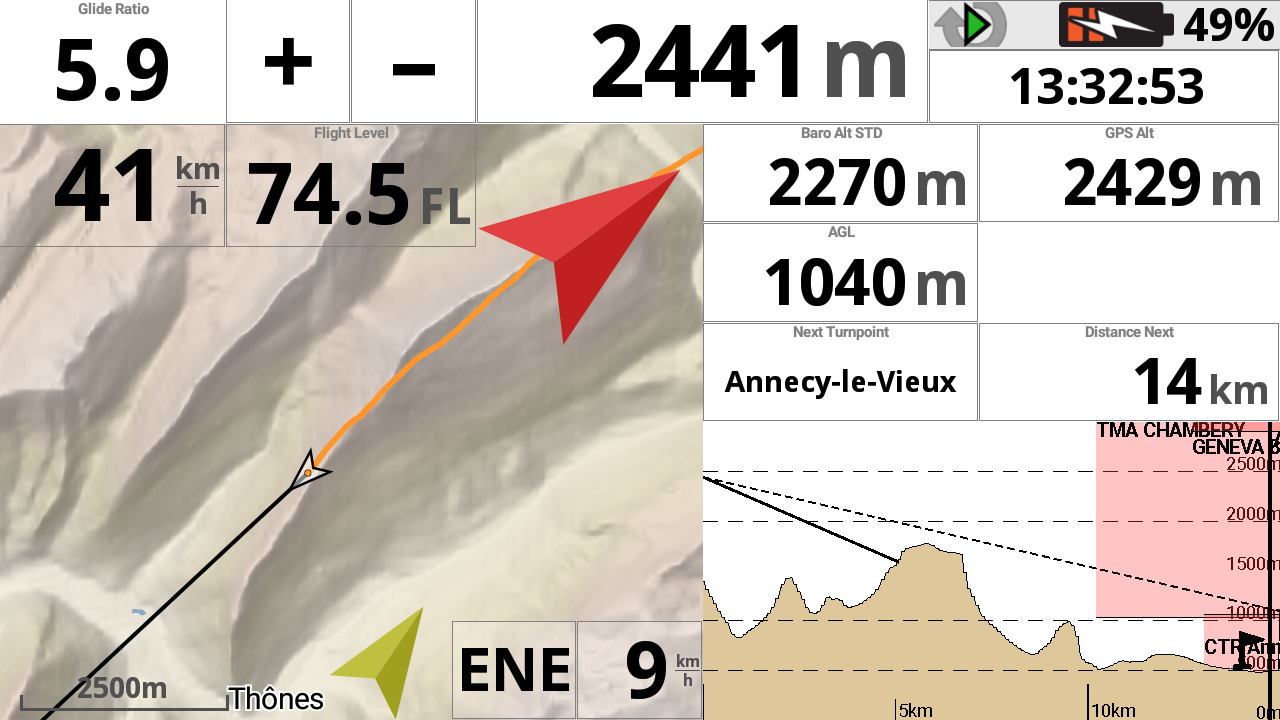
Credits Maps: Openandromaps

en_USEnglish