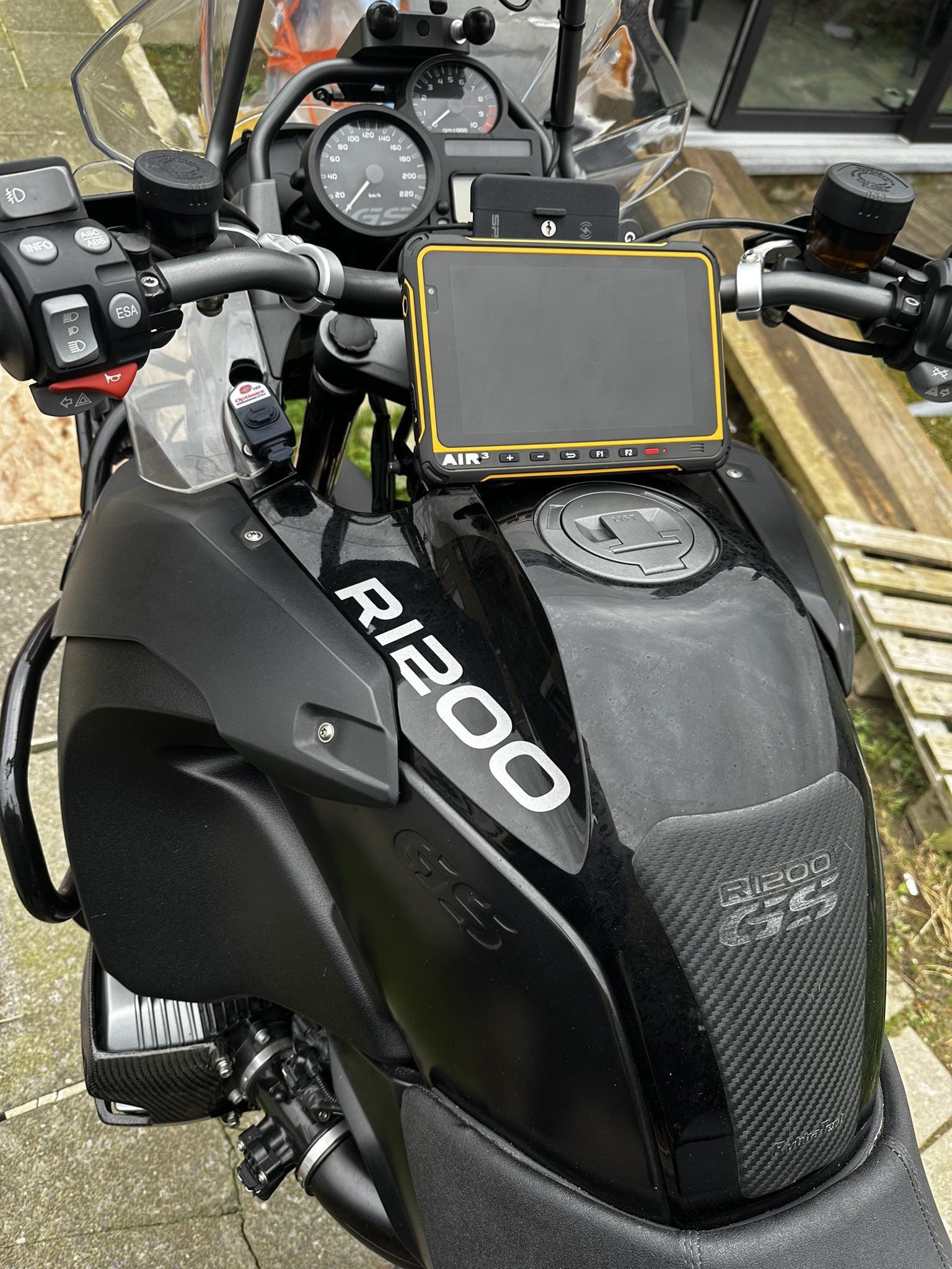
Yes! Of course.
Originally designed for flying, AIR³ is also an ideal tool for many other types of outdoor activities. Based on Android, it can run any Android application. This expands the possible uses without limit. If you need a robust instrument, very readable in direct sunlight, with a large autonomy, waterproof, with a very powerful GPS, etc.. AIR³ will meet your needs perfectly. AIR³ is a mix of GPS, smartphone, tablet, ruggedized for heavy use.
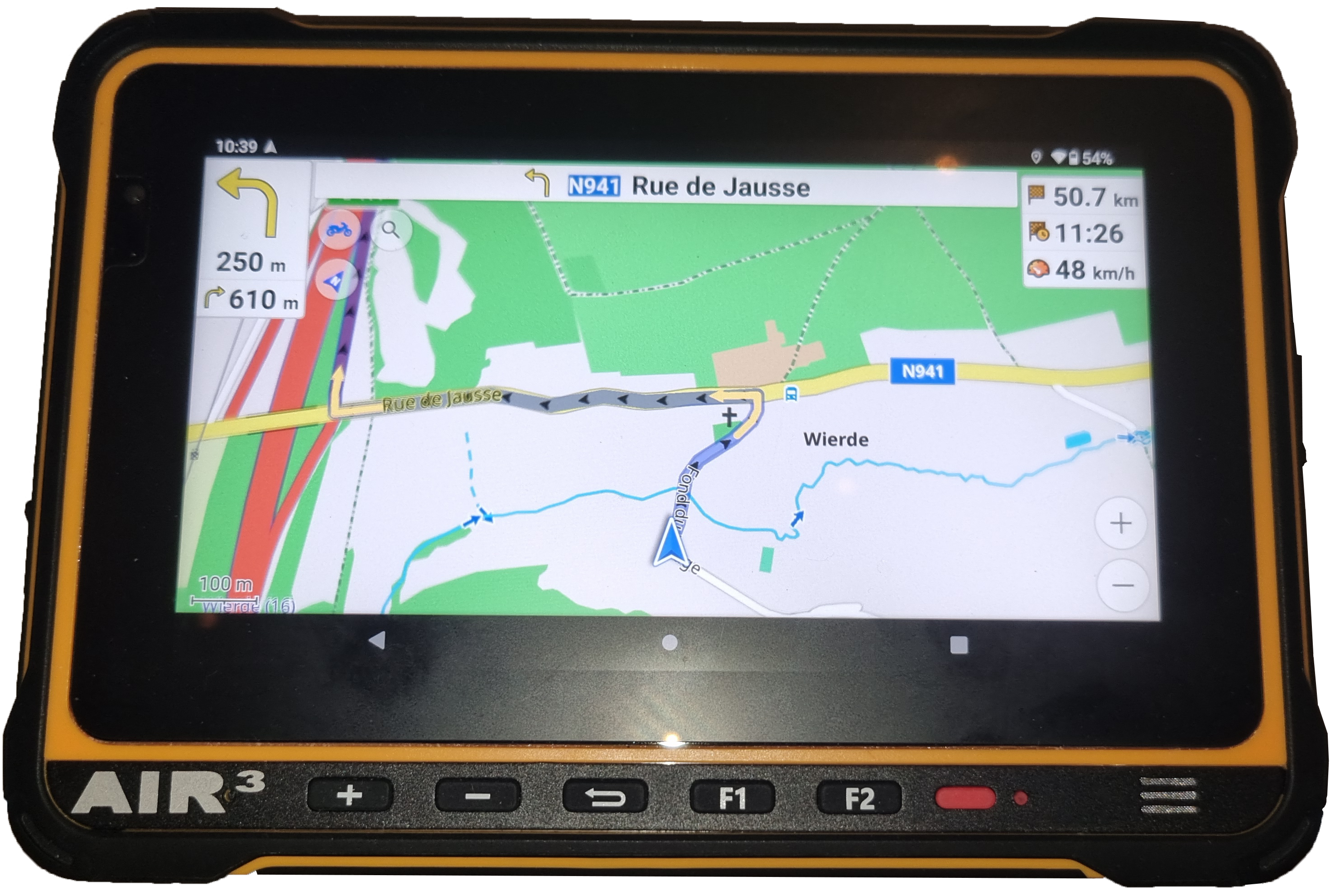
Different brackets have been designed to attach the AIR³ to different supports. For example, the paramotor base can be used to attach the AIR³ to a motorcycle handlebar and use it as a perfect navigation GPS.
Google maps app, OpenStreet maps app (OsmAnd) are for example two very good apps with navigation features and offline maps that will match most of navigation needs.
By default, the free version of OsmAnd allows you to download only 7 offline maps directly from the application. If you need to prepare your trip with more than 7 offline maps, you can either purchase an OsmAnd Pro license, which will allow you to download unlimited maps (and you will benefit from many other very interesting features), or you will need to copy the maps manually. Go to the Maps list on the OsmAnd website, select the map(s) you want to get. Extract the OBF file from the zipped file. Copy this OBF file to the OsmAnd directory: AIR3-7.3/Android/data/net.osmand/files/.
If you want to listen to music while driving, install your favorite music player and connect your headphones to AIR³ via Bluetooth or the 3.5 mm stereo jack.


